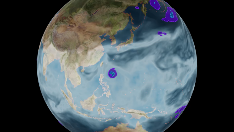
 Learn to build and deploy a deep learning model for automated flood detection using satellite imagery in this new self-paced course from the NVIDIA Deep Learning Institute.
Categories
 Learn to build and deploy a deep learning model for automated flood detection using satellite imagery in this new self-paced course from the NVIDIA Deep Learning Institute.