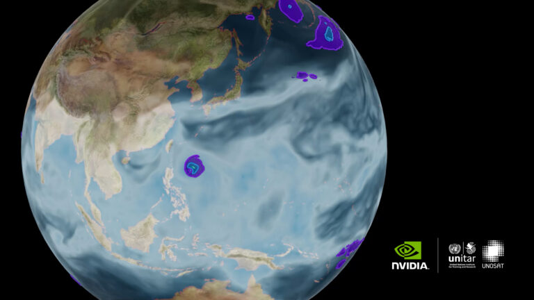
 In collaboration with the United Nations, DLI is offering a new free online course focused on applying deep learning methods to generate accurate flood detection models.
Categories
 In collaboration with the United Nations, DLI is offering a new free online course focused on applying deep learning methods to generate accurate flood detection models.